Every month, I post a report of our expenses to show that it is possible to live a comfortable, exciting, and adventurous life without breaking the bank. The less money you spend, the less you need to make. 🙂
This report includes ALL of our expenses, in US$, for two adults and one 60-pound dog (we adopted Maya on June 4th, 2019). Under groceries we incorporate food, produce, and non-alcoholic drinks predominantly bought in supermarkets. Toiletries belong in that category as well. Dining out means eating at a restaurant/event or purchasing take-out food. The health category covers non-prescription medicines and vitamins/supplements; medical contains prescription drugs and doctor’s visits. Because of our income level, Mark and I are eligible for free health care within the state of Massachusetts. For check-ups and extensive care, we return to the US East Coast. Other health issues are resolved locally and out of pocket where needed.
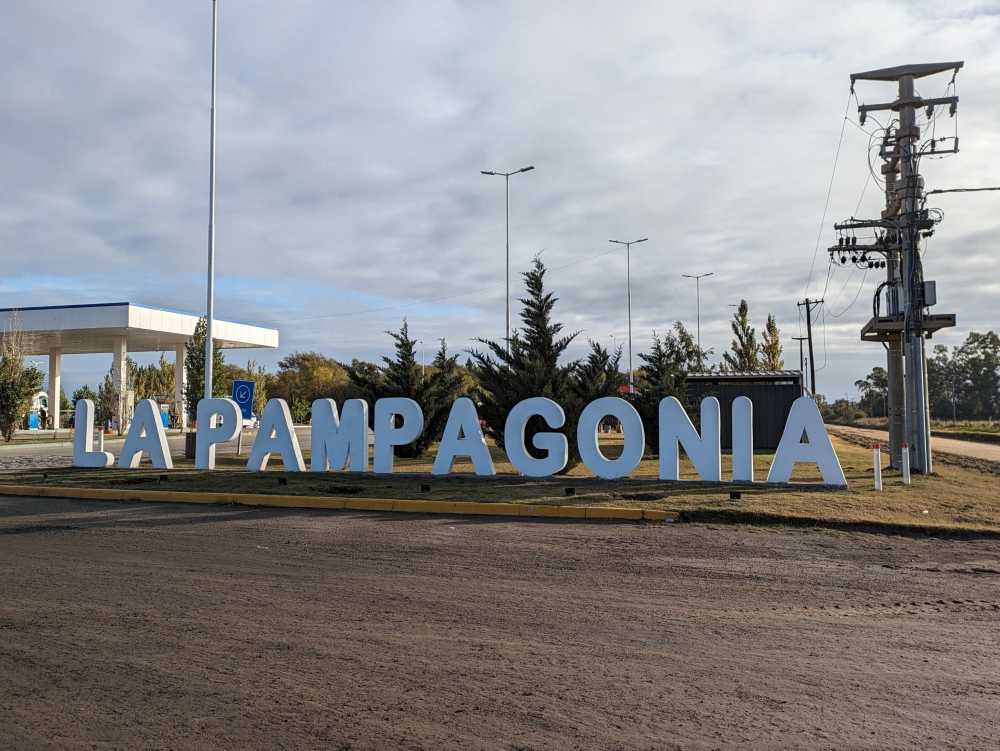
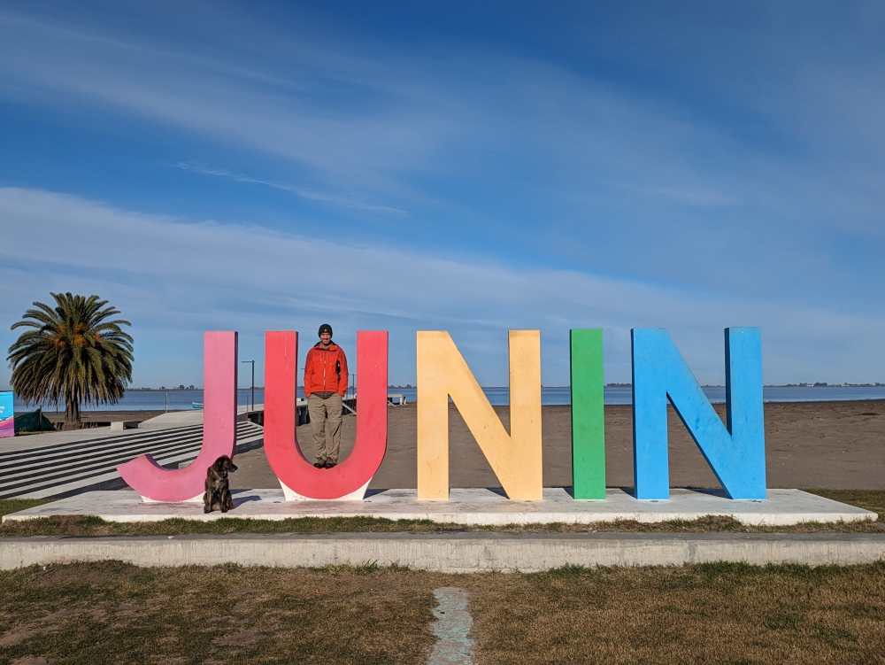
Mark, Maya, and I traveled throughout Argentina in Thirsty Bella for the entirety of April. The last week, we mostly stayed put to save money, as the numbers were adding up quickly again! This way, we managed to keep our expenses within budget, despite a massive splurge, for which we used some donation money. 🙂


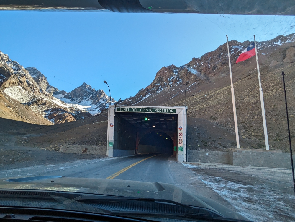
Previously, I mentioned the dollar was getting stronger against the Argentina peso, but that was short lived. After a week or so, both presidents, the local one and the US one, made changes that decreased its value. Argentina is becoming cost-prohibitive for us, so we are wrapping up our stay in this country.


Because of the uncertainty of the US economy thanks to the one in charge, we – as well as most Americans – have lost a bunch of our savings, causing more insecurity. The ripples are felt internationally, of course. On a personal level, we are working more than usually to make up for some of the losses. My blog updates might become less frequent, since there will be less to report and we’ll be stationary for longer periods of time.
On to the expense report of April. I will add some ways we try to keep our costs down. Fuel is the highest category once more. We drove about 1,700 miles (2,700km) in a month, which is a lot for us. We are ready to leave Argentina, so tried to cover ground north and east. Because of the lower exchange rate, the increased price per liter, and our crappy fuel economy of 10 mpg, our gasoline cost for this stretch was $524. Insane.


Still in the car category, $19 went to toll roads. Due to the height of our truck camper, we get charged twice as much as a normal car, which adds up at $4 a toll. We tried our best to avoid the booths as long as the extra distance wouldn’t be more costly in gas or the dirt roads wouldn’t become too annoying or time consuming. For our fifth oil change on the continent, we bought a $2 bucket.


We tried to be careful in the grocery stores, only buying items on sale and produce that was affordable.


Two factors influenced our $364 food cost in April: together with our friends Heather and Jon, we bought heaps of meat ($100 worth) and ingredients for side dishes when visiting European friends in Maipu, near Mendoza, for two nights. We wanted to give our ex-overlanding friends a break, culinary and financially. Unbeknownst to us, there was another (hungry) couple staying on the property.


And, our budget was relieved a bit by food items given to us by Heather and Jon, before they stored their camper in Mendoza and flew to the US for the summer. I am still enjoying their cheese, butter, and mayonnaise!


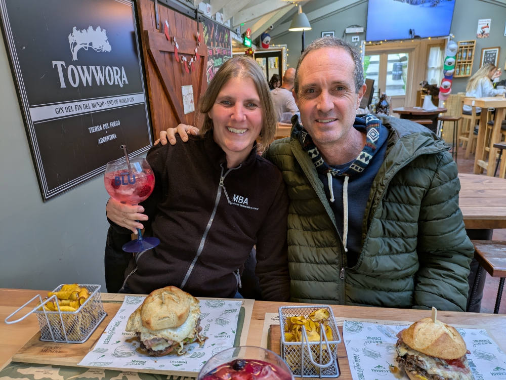
Our big splurge for April was a fancy lunch out at a Michelin-star restaurant (Zonda) in Luján de Cuyo with our friends. We figured it would be our only chance to ever eat in a star-rated place, so we decided to celebrate everyone’s anniversary early. Ours would be the end of April and theirs sometime in May.


Zonda was an exclusive affair and we enjoyed the different courses with wine pairings, but, since all of us have eaten in similarly renowned establishments before (Mark and I in the US, Belgium, Peru, and Bolivia) and could compare, we found the portions meager, the menu slightly uncreative (three dishes involved sorbet), and the service less professional than expected. That being said, the food and wine were tasty and of excellent quality and the company and fabulous time together trumped it all!


This seven-course meal set each couple back about $300, including tips. In our case, we finally used the generous Christmas donation from our supportive and kind follower HR and another donation of MD to set off the expense. All donations have now been used up.
I also treated myself to a three-scoop ice cream ($2) following the lead of Jon and Heather, which, believe it or not, had not happened since last September. It had been six months since I grabbed my previous ice cream treat from my mother-in-law’s freezer! Ice cream is still affordable in Argentina. Now that I know this, I might repeat this experience.


Just like in March, we only ate out once, also for a special occasion, which means that our other meals were cooked at home; it’s healthy, tasty, and affordable.


Regarding alcohol ($76), Mark and I bought wine from grocery stores – we enjoy red Malbec and white Torrontés the most in Argentina – and had a little “stock-up” at our favorite winery of all times, Giaquinta in Tupungato.


The utility cost went up because of the worse exchange rate. Our Starlink antenna for internet is registered in Argentina, so this affects our total. Half of the monthly subscription price is reflected here, since our business pays for the other half. We topped up our propane tank as well, for $17. All the water we added to our tank in April was free.


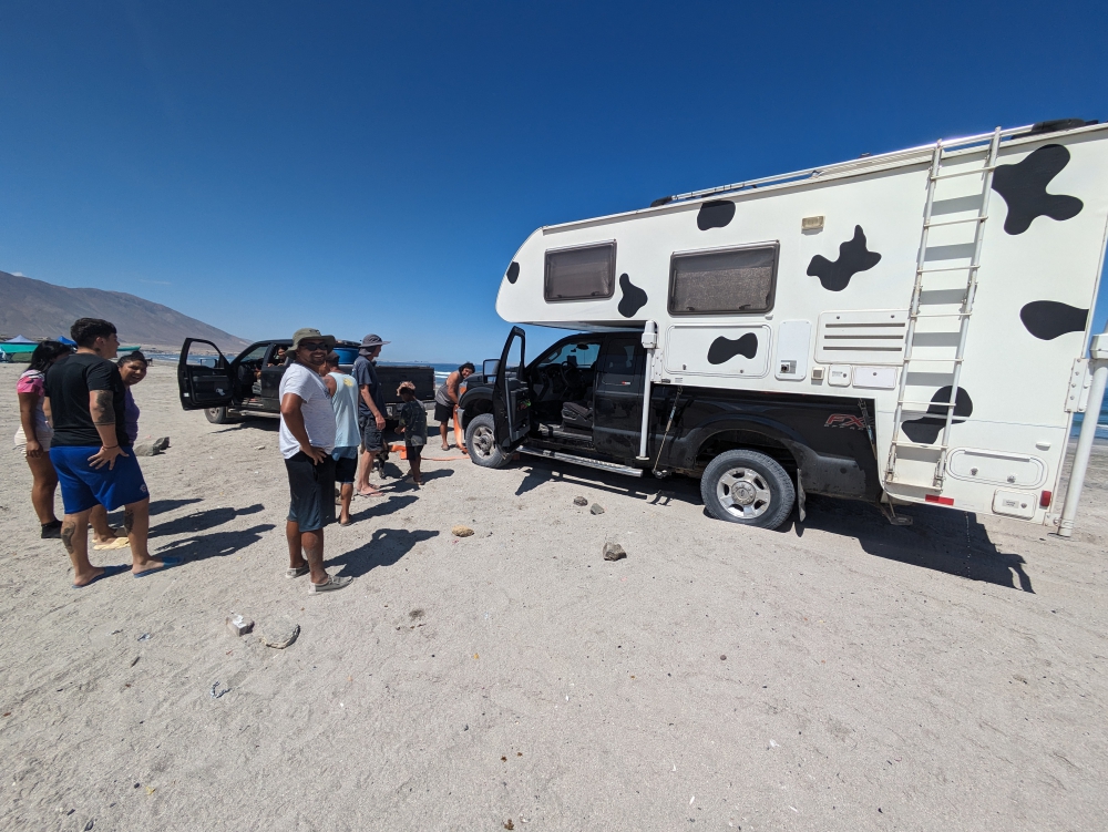
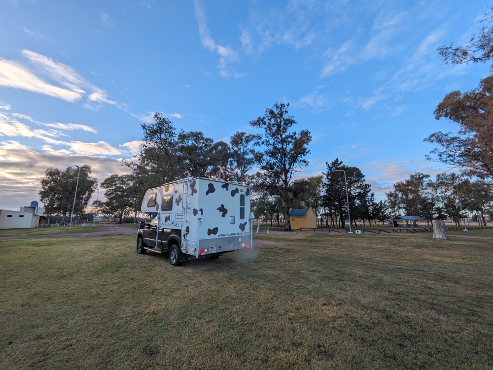
Most of the month, we camped for free in nature and on the edges of cities, which was a mixed bag between noise and peace.


Two nights, however, we stayed at a campground called Valentin Storage to see our friends again and to focus on chores like an oil change, cleaning the car and camper, and laundry.


I was out of birth control pills, which I usually get for free in the US or buy abroad for $1-$2 a month. Not in Argentina! When I finally found a pharmacy that carried the medicine with the correct balance of ingredients, I was charged $8 for one strip. I bought it, thinking I wouldn’t find it elsewhere. After checking one more pharmacy in Córdoba and being quoted $5 for the same thing, I bought it and returned the other pack by walking another mile. Yes, we do those things to save a few dollars. Don’t get me started on the hassle involved when we discover the supermarket receipt is incorrect! 😊


Mere dollars went to laundry (I did one load of sheets, towels, and heavy clothes at the campground and washed everything else that month by hand), sending a fax to a health institution for Mark to get Power of Attorney for his mom, and a museum visit for me. More about that one in an upcoming blog.


So, all in all, we kept it manageable in April, but we really tried hard to stay under our $1,300 average. We are now heading to Paraguay, counting on a cheaper cost of living. Stay tuned!
(It might be easier to read the table when turning your device in the horizontal position.)
Find all our expense reports here. To learn what other full-time nomads spend, check out the blogs of our nomad friends Duwan and Greg at Make Like An Ape Man.
Next up: Completing our year-long travels throughout Argentina
If you are enjoying these posts, please consider donating to Roaming About in support of our website and lifestyle. A big thank you to all our readers who have helped out in the past!