After our time in Quito, Mark, Maya, and I had less than a week left, before Mark would fly out of Ecuador for seventeen days.
June stops in Northern Ecuador
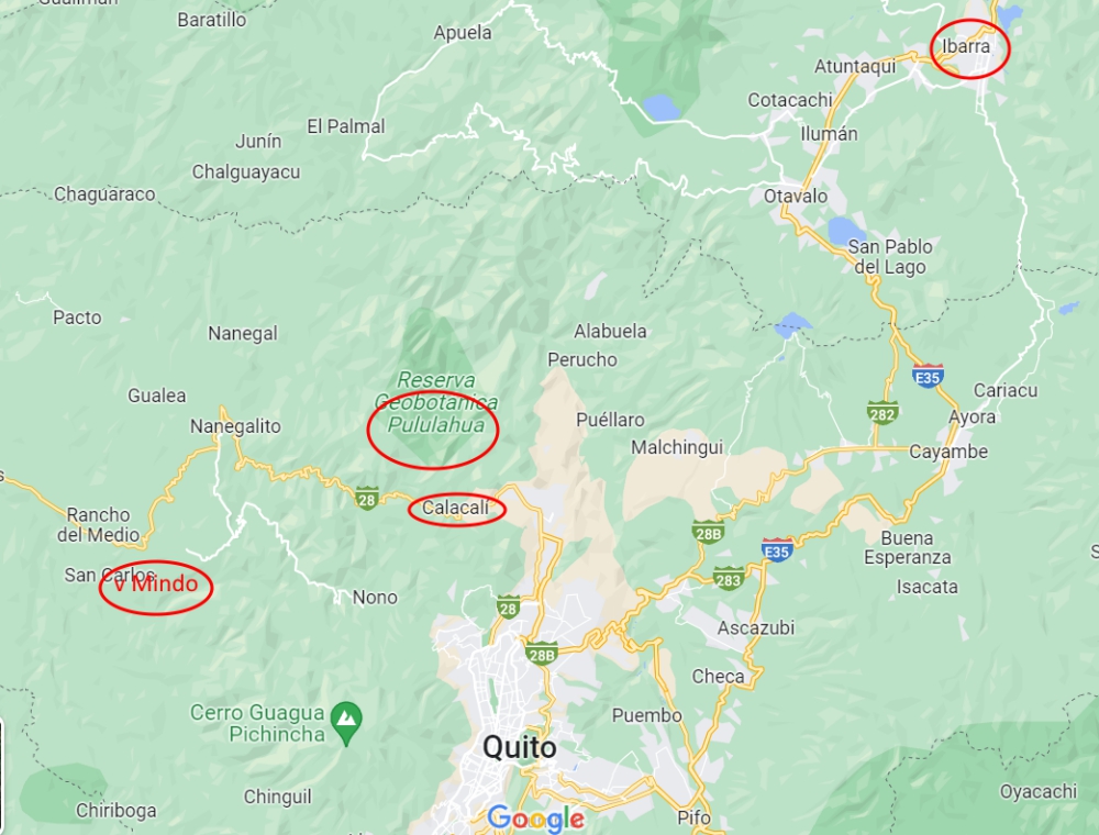
We contemplated traveling to Amazonia/El Oriente, the jungle in the eastern part of the country, but soon realized we’d need more time for that massive detour and unique experience. So, we headed west, to Mindo.

Mindo
Mindo is a popular destination for travelers alike, especially backpackers and families. While the town is nothing special, activities in nature abound. From tubing to hiking; from cable cart riding to ziplining. We found a decent place to camp for free near the center of town, which allowed us to splurge at some of the western-style restaurants.


We also moved to a riverside spot for one night, to be able to sleep better, but since there was no cell signal, we couldn’t stay long.


Our main reason to come this way was a hike in the jungle among a plethora of waterfalls. Mindo is at a much lower elevation than we have been used to in Ecuador. At only 4,000ft (1,200m) above sea level, the climate turned hot and humid, yet still very rainy. It’s the perfect place to grow mold and we can’t quite see the attraction of living there. Is that why so many properties are for sale?


In tourist towns, everything is more expensive. The usual way to reach the park with the waterfalls is via two cable carts, in which Maya was allowed. The lower one was pricey; the second one was included in the waterfall trail walking fee of $5 a person. Since the entrance to the park is quite the hike up and our camper couldn’t fit over the bridge to get there, we paid for a single cab ride.